


Tuolumne River Trail
Location: Tioga Dr. and Legion Park Drive.
Distance: 4.2 miles
917 Oakdale Road
P.O. Box 3271
Modesto, CA 95353
Get Directions
Phone: (209) 558-7000
Email: Connect@schsa.org
For Health Emergencies
Call 911
CalFresh Healthy Living provides nutrition and physical activity education and collaborates with community partners to implement programs and projects that promote and support healthy, active lifestyles prioritizing low-income communities.
The primary goals of CalFresh Healthy Living are to:ParkRx programming aligns with the goals of CalFresh Healthy Living, and helps communities live active lives with a focus on prevention and chronic disease management.
ParkRx was a movement created by the Institute at the Golden Gate and the National Recreation and Parks Association, with support from the National Park Service in 2013. A group of practitioners gathered to discuss the idea of prescribing nature to improve mental and physical health. Since then, this movement has evolved nationwide, and so has the definition of Park Prescriptions. This program can be modified as the community and partners best see fit for their area.
Parks are essential elements to a city, shaping neighborhoods and creating spaces for its' community to improve their overall health. Parks in Stanislaus County have a diverse number of amenities that are perfect for residents to engage with the outdoors.
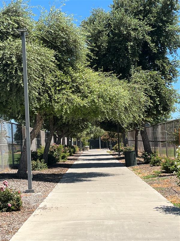
Parks support the health of our community. Being physically active outdoors is good for your physical and mental well-being. Local and regional parks have a lot to offer - from simple walks to sports like basketball, pickleball, and swimming. For the more adventurous, there are several parks that offer hiking, cycling, fishing, and river rafting, too!
Begin at College Avenue. Follow the trail until Woodrow Avenue.
Distance: 4.2 miles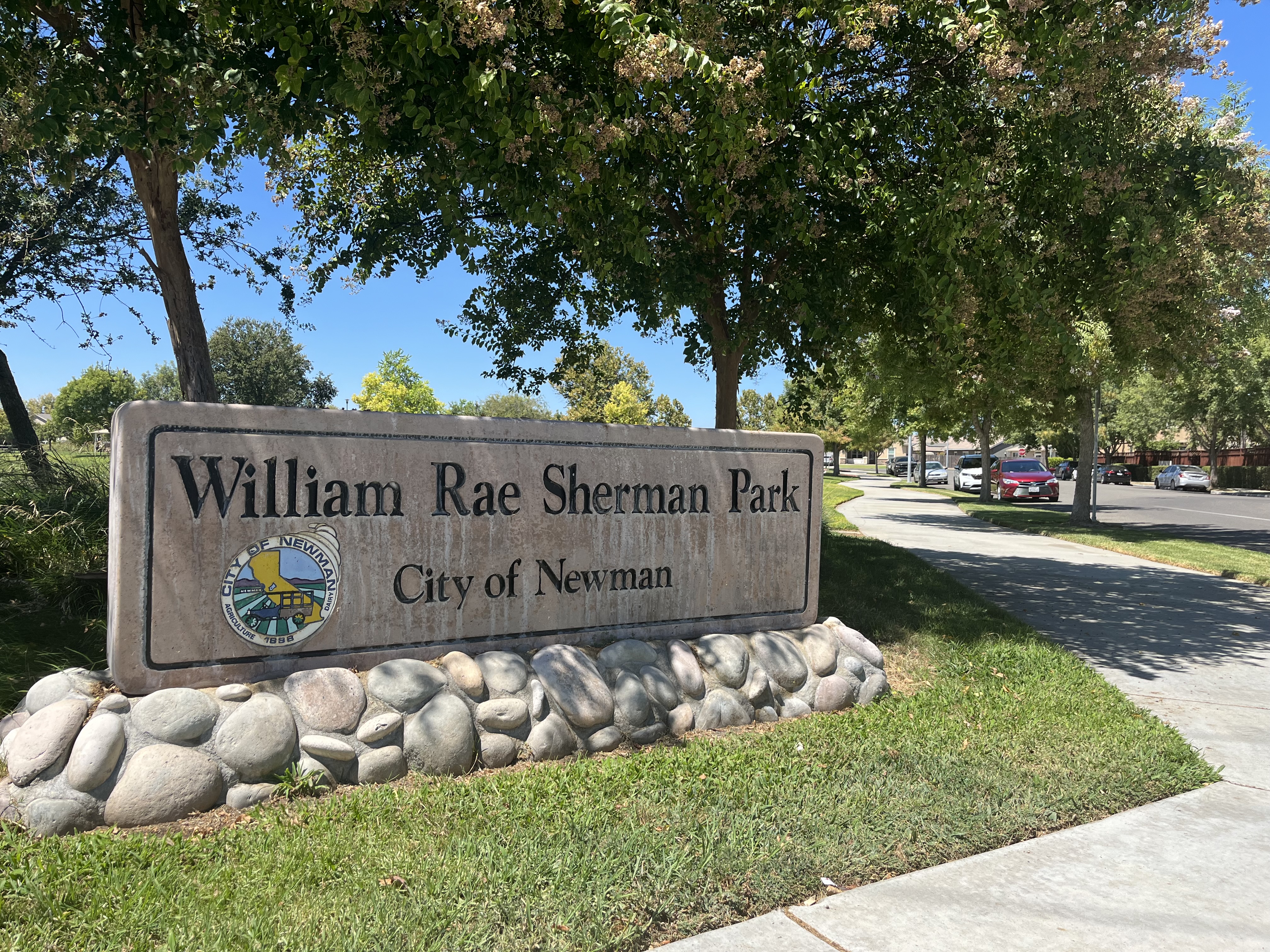
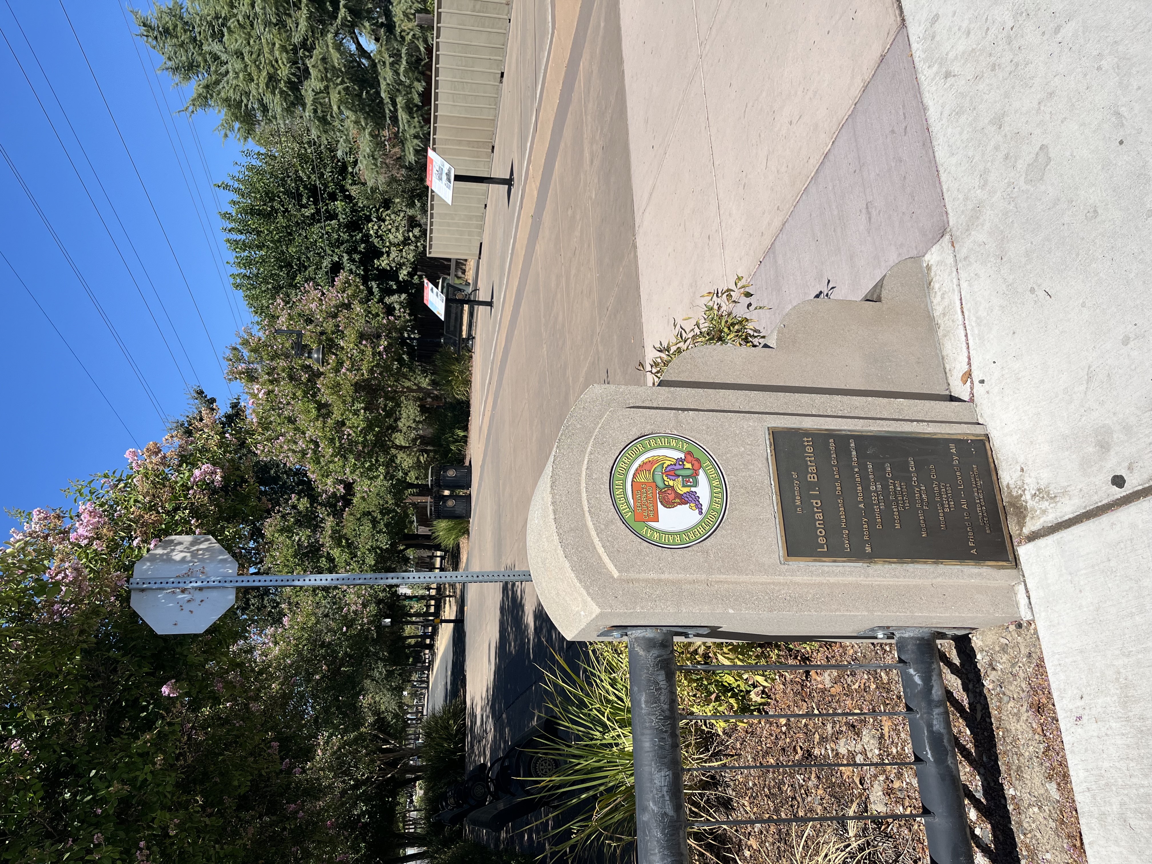
Begin at the intersection of Hills Ferry Rd and Edinburgh Way. Continue on Hills Ferry Rd towards Sherman Parkway. Continue straight until the intersection of Sherman Parkway and Hwy 33.
Distance: 1.5 miles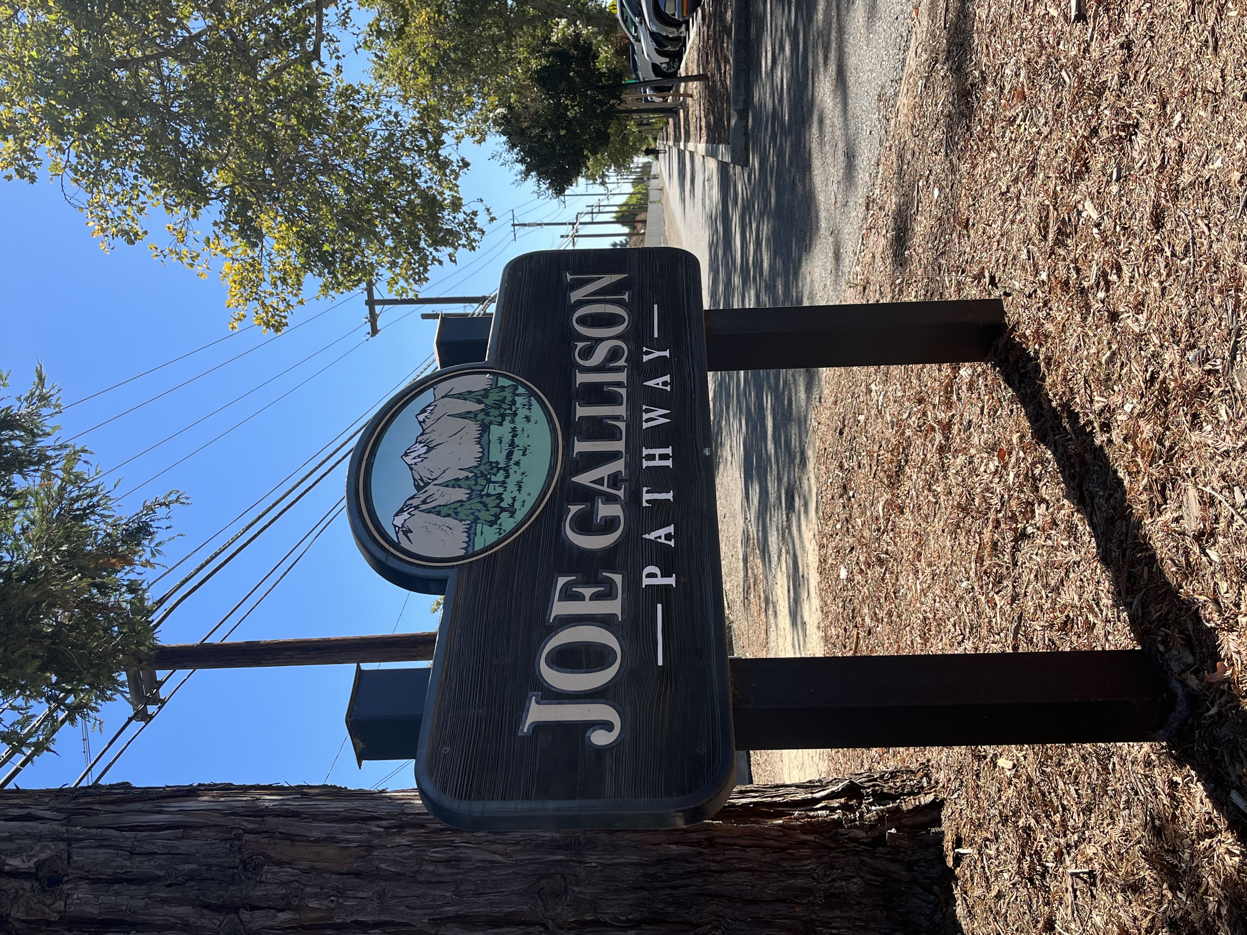
Begin at the intersection of E. Canal Dr. and Colorado Ave. Follow the pathway until N. Daubenberger Rd.
Distance: 1 mile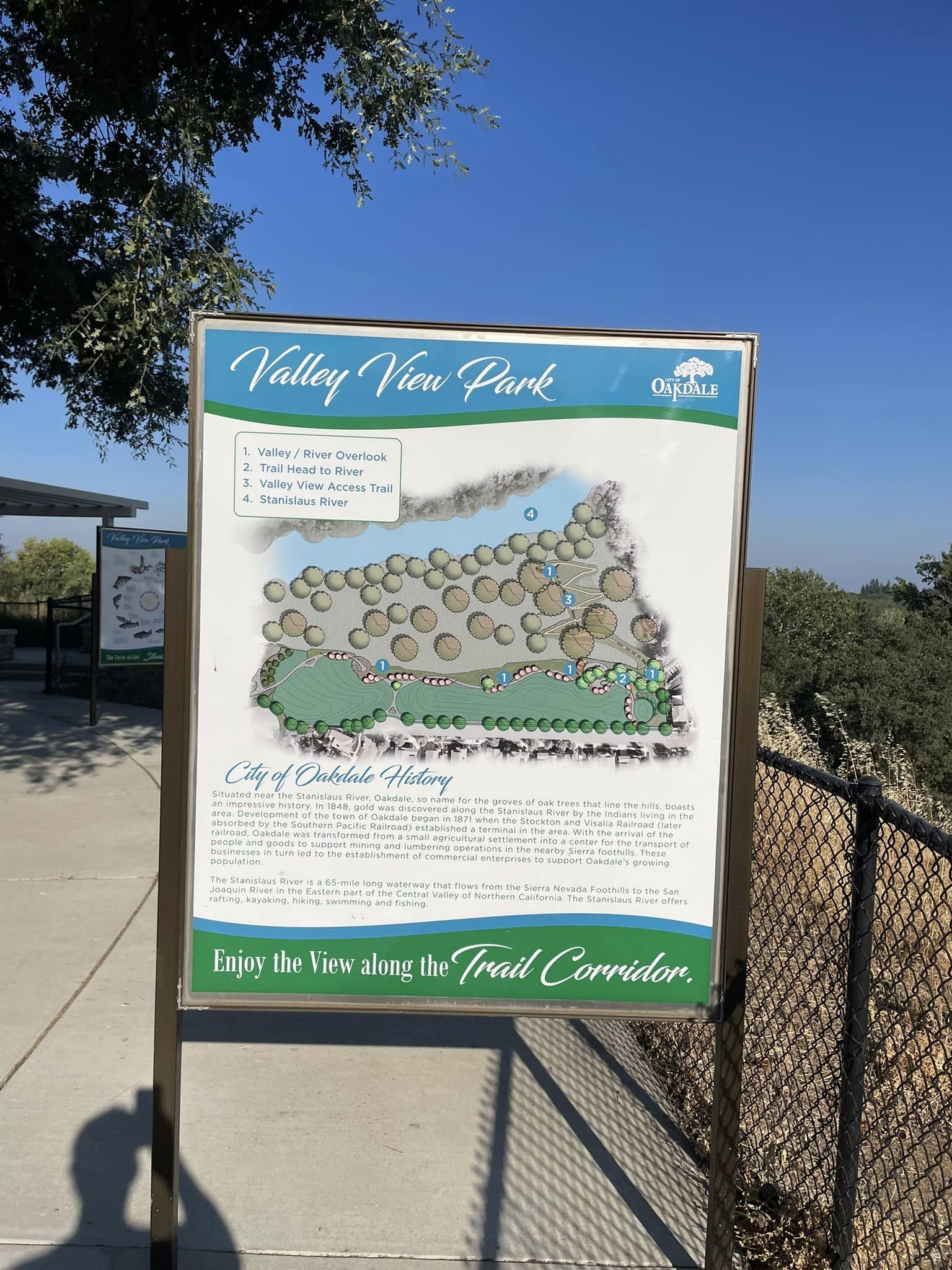
Begin at the intersection of Irwin Dr. and N. Maag Ave. Follow the trail along Valley View Park and return to the starting point.
Distance: 0.4 mile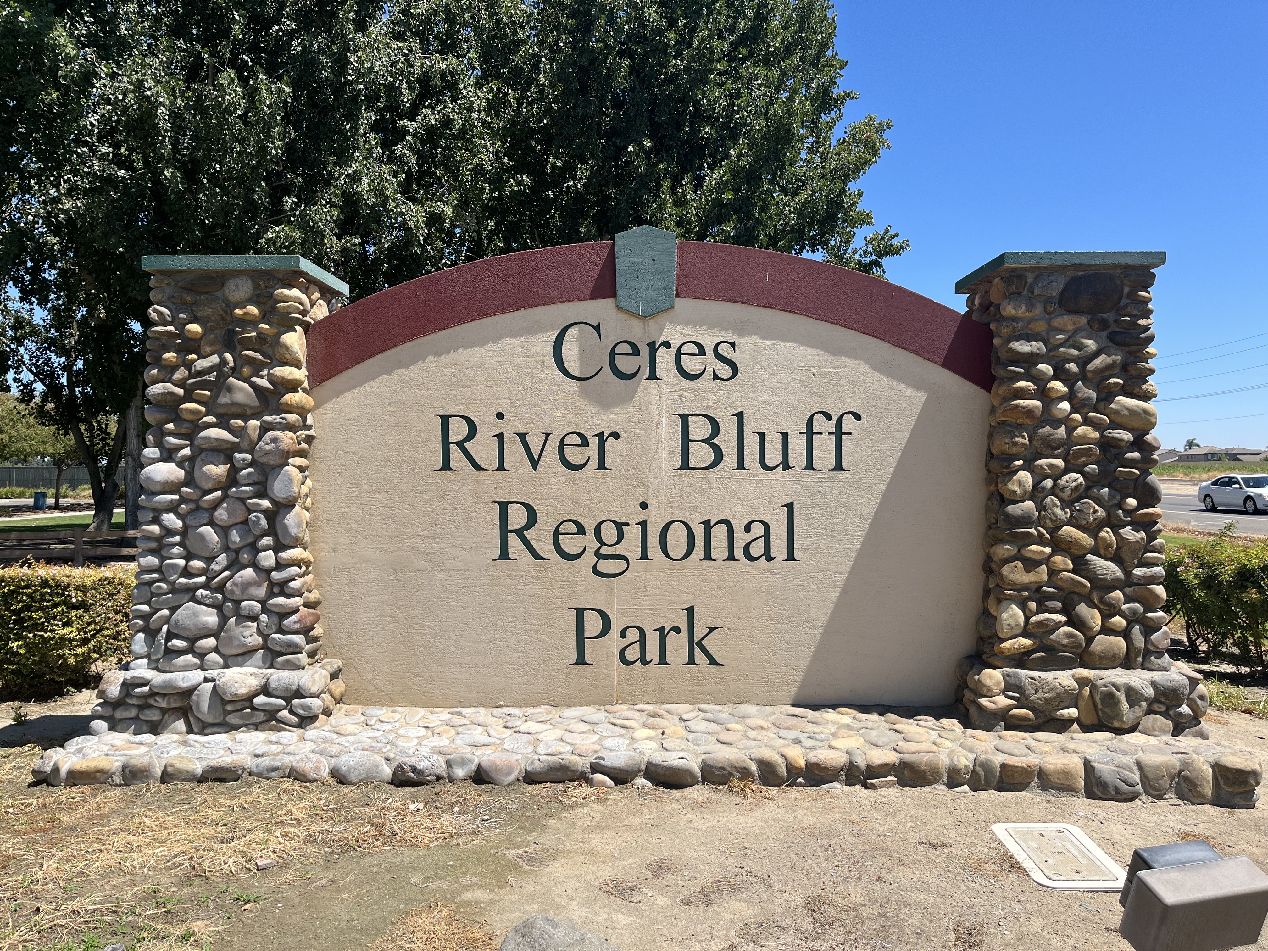
Located 3761 E Hatch Road. Begin at the River Bluff park area and continue onto the foot path around Keleent Pond.
Distance: 0.5 mile.
Begin at intersection of American Eagle Ave and Roadrunner Dr. Turn into Red Robin Dr. and make a left on American Eagle Drive. Continue walking along Sorensen Park.
Distance: 0.5 miles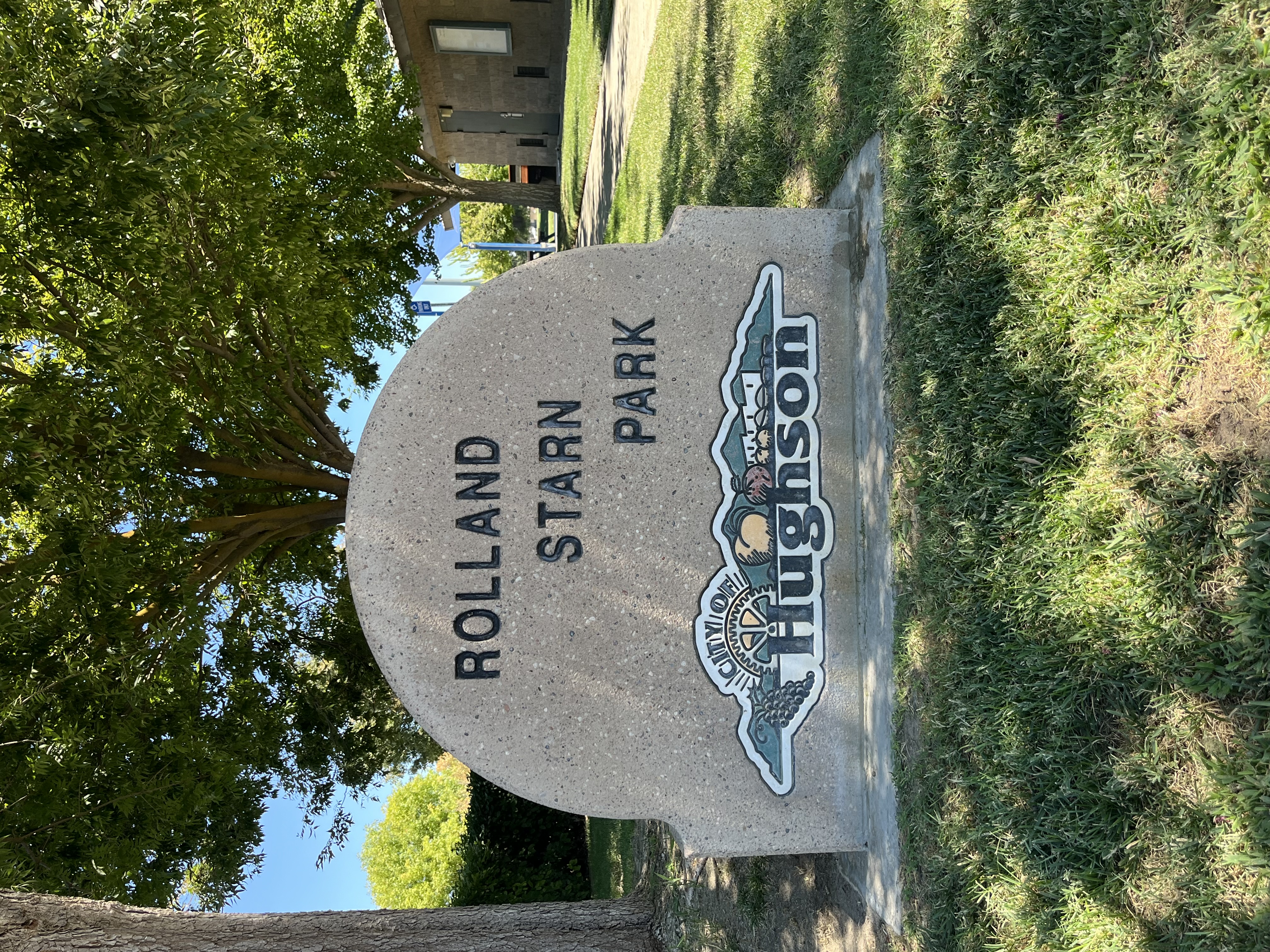
Begin at the Rolland Park sign on Tully Rd. Walk along the path that loops around the park into Imshu Ct. Turn left onto Varni Ct, then turn left onto Burlwood Ct. Continue along the path and return to the starting point.
Distance: 0.5 mileLocation: Tioga Dr. and Legion Park Drive.
Distance: 4.2 milesLocation: 3601 Litt Rd, Modesto, CA 95357
Distance: 3.4 milesPond Loop Trail end points: Base Camp area to main entrance road.
Distance: 1.85 milesLocation: Turn onto Crane Rd from HWY 108
Distance: 4.3 milesEnd points: Base camp area to San Joaquin River and Tuolumne River confluence.
Distance: 3.6 milesLocation: Old Lake Rd, Merced CA 95343
Distance: 3.5 milesLocation: 1260 S Jack Tone Rd, Ripon, CA 95366
Distance: 8.1 milesLocation: Old Lake Rd, Merced CA 95343
Distance: 3.5 milesLocation: 28000 S Austin Rd, Ripon, CA 95366
Distance: 3.5 milesLocation: 2001 Edgebrook Dr, Modesto, CA 95355
Distance: 5.65 milesLocation: 23655 S Santa Fe Rd, Riverbank, CA 95367
Distance: 0.8 mileLocation: 17968 Covered Bridge Rd, Oakdale, CA 95361
Distance: 2.8 out and back trailUse Your Smartphone As Your Trail Guide! Discover trail-finding apps and stay on track with your goals. (Apple|Android)
Copyright © Stanislaus County, California 2023